
VR companies for industrial and factory virtual tours turn a working plant into something people can walk through without being there. The deciding question is what the tour is for, because a recruitment walkthrough and an as-built record of a live facility are captured differently, cost differently and age differently. Rankings draw on each company's own record.
In short:
- Treeview builds custom XR to specification and transfers full ownership of IP, source code and assets
- Prevu3D turns LiDAR, SLAM, drone and 360 capture into editable environments, naming Deutsche Bahn, WSP and Tetra Tech
- Cintoo converts point clouds into 3D meshes without compromising accuracy, and publishes a cloud workflow for very large datasets
- NavVis makes the scanning hardware as well as the software, with Manufacturing and Process and Plant among its named industries
How this list was built
This list ranks companies by four criteria: how the facility is captured, what the finished environment supports afterwards, named industrial client evidence, and who operates the result.
Industrial tours split by purpose, and the split matters more than any feature comparison. A communications tour shows a plant to recruits, customers or the public, and it needs to look good and load on a phone. An operational tour is a working record of the facility as it stands, used for planning, contractor induction, remote inspection and maintenance, and it needs dimensional accuracy and a refresh cycle. The first is a media project. The second is infrastructure.
Buying the wrong one is expensive in both directions. A beautifully produced walkthrough cannot be measured against, so engineering will not use it. A survey-grade capture delivered as a point cloud is unusable by a recruiter. Most organizations discover they wanted both and funded one.
The second consideration is specific to industrial sites and rarely discussed in a sales conversation: capture is disruptive. Scanning a live plant means access, permits, escorts, safe systems of work, and often a shutdown window. That logistical cost frequently exceeds the software cost, and it is the reason capture happens rarely, which in turn is why the refresh question below matters so much.
Disclosure varies. Prevu3D publishes no founding year or team size, Cintoo publishes no founding year, headquarters address or named clients, and Luminous XR publishes no founding year, named clients or product detail. NavVis served an automated bot challenge to every attempt to view its site from this environment, so its entry is written from pages that did load and it carries no company image. Those gaps read Not disclosed rather than as estimates. Pricing is not a ranking factor, though NavVis publishes rates.
| Company | HQ | What it is | Capture route | Best for |
|---|---|---|---|---|
| Treeview | Montevideo, Uruguay / New York City, USA | Custom development studio | Built to a brief | Tours doing a job nothing sells |
| Prevu3D | Montreal, Quebec, Canada | Digital twin software | LiDAR, SLAM, drone, 360 | As-built work you design against |
| Luminous XR | United Kingdom | Consultancy and development | Not published | Deciding what you actually need |
| Cintoo | Not disclosed | Reality capture platform | Point clouds to meshes, cloud | Very large scan datasets |
| NavVis | Germany | Hardware and software vendor | Its own mobile scanners | Scanning plants repeatedly in house |
1. Treeview
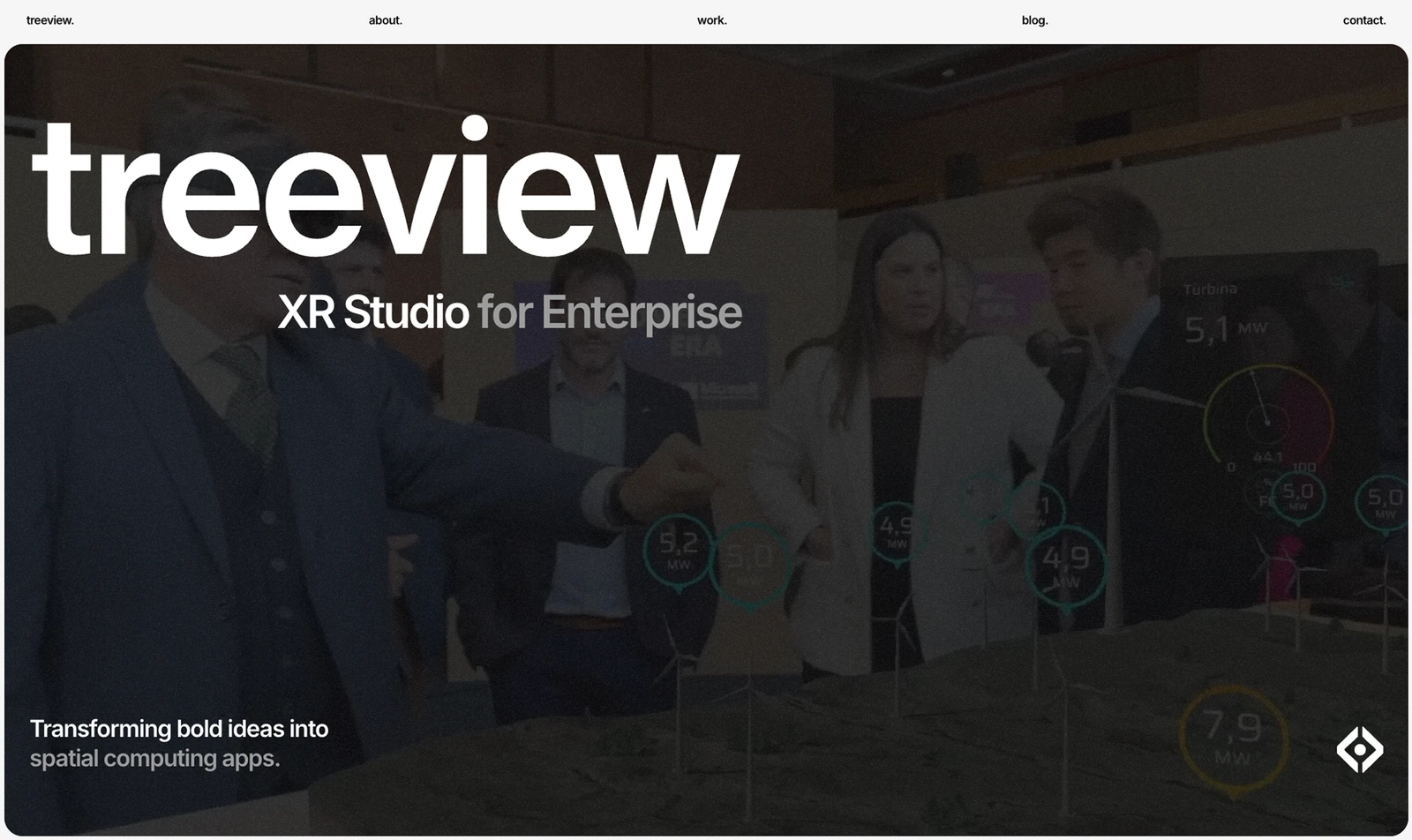
Treeview is an XR studio building custom virtual reality, augmented reality, Mixed Reality and Smart Glasses applications to order. It publishes no factory tour product, and a buyer should weigh that plainly: the four companies below all supply capture-led tooling, and Treeview supplies development.
Where that is the right choice is narrower than it sounds and worth stating precisely. The platforms handle capture, viewing and measurement well. What they do not do is build the specific thing on top: a guided induction that a contractor must complete before arriving on site, a recruitment experience with narrative and interviews, a tour wired into your permit system, or an interface that presents plant data alongside the environment. Those are development projects, and they usually sit on top of somebody else's capture rather than replacing it.
Its published industrial reference is an AI-enabled digital twin designed and developed with Microsoft for a multi-billion dollar green hydrogen renewable energy project, combining accurate plant geometry, live operational data and a real-time environment. That is the closest published analogue to an operational tour, and it demonstrates the harder half: getting real plant data into a real-time environment reliably.
Full ownership of IP, source code and assets transfers to the client. Facility content has a long life and passes between departments, moving from communications to HR to operations over the years, and a tour the organization cannot edit becomes an asset with an expiry date somebody else controls.
Published platform coverage includes HoloLens 2, Apple Vision Pro and Meta Quest, plus iOS and Android, on Unity and Unreal Engine, with named clients including Microsoft, Meta, Medtronic, Toyota, Ford and Transfr. Founded in 2016 by chief executive Horacio Torrendell, it works from Montevideo, Uruguay and New York City. Team size, rates and any capture capability are not published, so scanning would come from elsewhere. Best for the application built on top of a capture, owned by you.
2. Prevu3D
Prevu3D is enterprise 3D digital twin software built around reality capture, and it is the most directly relevant entry here for industrial facilities. It takes data from LiDAR, SLAM, drone mapping and 360 video and turns it into editable 3D environments rather than leaving it as a point cloud only a survey team can open.
That editability is what separates a tour from an archive. A point cloud is an accurate record and a hostile working environment. Converting it into geometry that engineers can move, hide, annotate and design against is the step that turns capture into something an operations team uses weekly rather than once.
What it supports afterwards extends well past walking around. Users can overlay CAD and BIM models against the as-built scan, run clash detection, and link assets through to maintenance and enterprise systems. It publishes plugins for Revit, Inventor, AutoCAD and MicroStation, and integration with CMMS and ERP through those connections. For a plant planning a modification or a turnaround, checking a proposed design against the facility as it actually stands is worth more than any guided tour.
Its named clients are the strongest industrial set in this list: Deutsche Bahn, WSP, Tetra Tech, Amsted Rail, General Mills, Olymel, Canam, Agropur, Goodtech and GCM Consultants, with detailed case studies on Deutsche Bahn and Viewrail. Its stated industries include Oil and Gas, Manufacturing, Food and Beverage, Automotive and Transportation, Geospatial and AEC, which is squarely the population this post is about.
It is software rather than a service, so the capture itself and the work remain yours or a surveyor's. The company works from 642 Courcelle Street, Montreal, Quebec. A founding year, team size, rates and ownership terms are not published. Best for as-built environments that engineering will design against.
3. Luminous XR
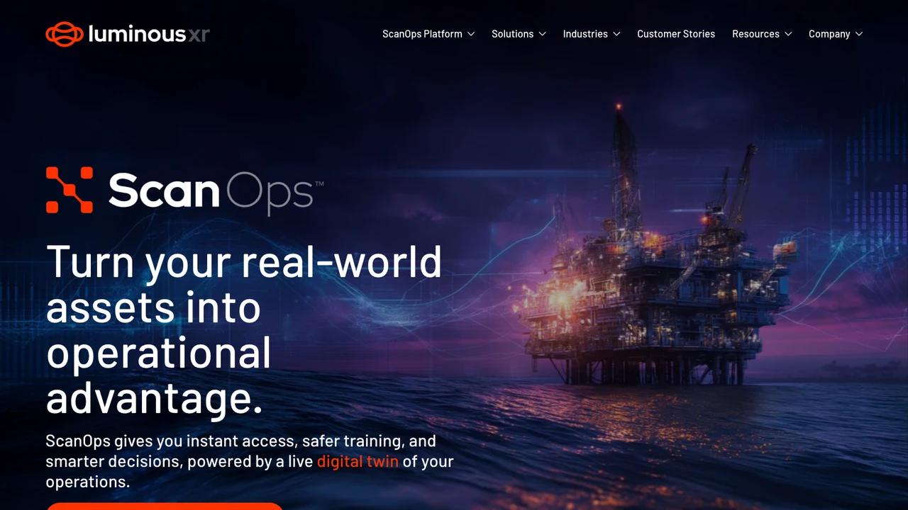
Luminous XR, part of Luminous Group in the United Kingdom, works across industrial digital technology including augmented and virtual reality, and it is the only consultancy here. For factory tours specifically, that position addresses a real and common failure.
Organizations frequently commission a virtual tour without having established which of the two purposes above they are serving, and end up with something that satisfies neither. An engagement that starts by asking who will open this, how often and to decide what, is cheap relative to a capture program and routinely changes the specification before money is committed.
Its regional value is also practical. UK manufacturing and engineering organizations often want a supplier who can walk the plant, understands local standards and site access realities, and can be engaged before any technology decision. Capture planning in particular benefits from someone who has stood in the building, because access, permits and shutdown windows determine what is achievable far more than software does.
It is the entry with the least published detail. Its site does not publish a founding year, team size, named industrial clients, capture capability, device support, product names or rates, so an evaluation happens entirely in conversation. A buyer should ask directly for named plant deployments, what is delivered at the end, who owns it and who refreshes it.
It ranks third on the value of scoping rather than on documented tour delivery, and that placement should be read that way. Best for organizations that have not yet settled what their tour is for.
4. Cintoo
Cintoo is a digital twin platform and reality capture software company whose central claim is directly relevant to industrial sites: it converts point cloud data into 3D meshes with no compromise to accuracy, so teams can do more with scan data.
Industrial plants produce the largest scan datasets in this field. A process facility is dense with pipework, structure and equipment, and scanning it comprehensively generates volumes that defeat ordinary workstations. Cintoo's published cloud-based processing, covering secure upload, processing, visualization and management of massive 3D scan datasets from anywhere, is aimed squarely at that constraint, and it is the practical reason large sites reach for a platform rather than local software.
Its published products are BIM Edition, Twin Edition and 360 Edition, plus Workspace. Twin Edition addresses the operational phase and 360 Edition addresses panoramic capture, which is faster and cheaper than laser scanning and adequate where survey accuracy is not required. Having both under one roof is useful for plants that want a detailed scan of the process area and lighter panoramic coverage everywhere else.
It states that it is agnostic across capture hardware, which matters more in industry than elsewhere. A plant rarely controls which scanner a contractor brought, and historic scans accumulate across several devices and years. A platform that ingests all of them keeps that history usable.
Its site is published in nine languages, indicating genuine international deployment, but it publishes no founding year, headquarters address, team size, named industrial clients or rates, so references need requesting directly. It supplies the platform, not the scanning or the finished tour. Best for sites generating scan data faster than local tooling can handle it.
5. NavVis
NavVis publishes laser scanning solutions and digital twin technology, and it is the only company here that makes the capture hardware as well as the software. On an industrial list that changes the economics in a way worth understanding.
Its published hardware is the NavVis CLX, marked as new, alongside the NavVis MLX and NavVis VLX 3. These are mobile mapping systems, which means an operator walks the facility rather than setting a tripod at successive positions. For a plant that difference is substantial: terrestrial scanning a large process area is measured in days of access, and mobile capture compresses it, which in turn makes repeat scanning affordable rather than exceptional.
That is the strategic point. Every capture-led tour degrades as the plant changes, and the only real answer is scanning again. An organization that owns the scanner can re-capture after every modification and turnaround. One that hires a surveyor treats each capture as a project with a business case, and so does it rarely.
Its published software covers data processing, data management and synchronization, scan-to-BIM, model validation, site assessment, conceptual planning, construction verification, and asset tagging and visualization, with published integrations for TopoDOT and Autodesk Revit. Its stated industries are Surveying, Construction, Manufacturing, and Process and Plant, the last two being exactly this audience. It publishes pricing and a subscription plan, which is uncommon here.
Two caveats. Buying hardware is a capital decision that only pays back with repeated use, so a single tour does not justify it. And its site served an automated bot challenge on every attempt to view it from this environment, so this entry rests on pages that loaded and no company image accompanies it. Best for organizations scanning their own plants repeatedly.
What industrial tour projects have to account for
Four things decide whether a factory tour is still being opened a year later.
The first is naming the audience and the purpose. A recruitment tour and an as-built engineering record are different products with different accuracy requirements and different budgets. Write down who opens it, how often, and to do what, before choosing a supplier, because that single answer eliminates most of this list.
The second is the refresh cycle. Plants change constantly, and a tour depicting last year's layout stops being trusted quickly. Decide up front how often it is re-captured, who pays and who performs it. This is where owning a scanner, as NavVis enables, competes against hiring one per capture.
The third is access and disruption. Capture requires permits, escorts, safe systems of work and sometimes a shutdown. That cost usually exceeds the software cost and always exceeds the estimate made by someone who has not organized site access before. Plan capture around a turnaround if one is scheduled.
The fourth is what can be measured. If anyone will make a dimensional decision from the tour, establish the accuracy of the capture and state it in the interface. A visually convincing environment invites measurement whether or not it supports it, and a wrong clearance taken from a tour is an expensive error with a confident origin.
How to choose between these industrial tour companies
Start from purpose. As-built accuracy that engineering will design against points to Prevu3D, with its CAD and BIM overlay, clash detection and CMMS links. Very large scan datasets across distributed teams point to Cintoo. Repeated in-house scanning points to NavVis and its own mobile hardware. An application built on top of a capture, owned by you, points to Treeview. Uncertainty about which of these you need points to Luminous XR first.
Then check industrial evidence rather than industry lists. Prevu3D names Deutsche Bahn, WSP, Tetra Tech, Amsted Rail and General Mills. NavVis names Manufacturing and Process and Plant among its industries. Cintoo and Luminous XR name no clients on the pages reviewed. Ask each for a reference at a plant comparable to yours.
Budget the capture logistics separately from the software, and get a site access plan agreed before signing anything. It is the line that most often doubles a first estimate.
Finally, decide who owns the data. Scans of your facility are a security-relevant asset as well as an operational one, and where they are stored, who can access them and what happens at contract end are questions worth settling in the specification rather than afterwards.
Related reading. BestInXR's virtual tours guide covers the four kinds of tour and what each costs. VR companies for virtual site tours of energy facilities covers the same problem in energy, and companies for BIM and construction digital twins covers as-built verification. For twin building see companies for custom digital twin development, and for bespoke work, companies for custom 3D virtual experiences.
Frequently Asked Questions (FAQ)
1. What is the difference between a communications tour and an operational one?
Purpose and accuracy. A communications tour shows the plant to recruits, customers or the public and needs to look good on a phone. An operational tour is a working record used for planning, induction and inspection, and needs dimensional accuracy and a refresh cycle. Most organizations want both and fund one.
2. How is a working plant captured?
Through LiDAR, SLAM, drone mapping or 360 video, and increasingly through mobile systems that an operator walks with rather than tripod-based scanning. Prevu3D publishes all four inputs. NavVis publishes its own mobile scanners. The logistics of access, permits and escorts usually cost more than the software.
3. Can measurements be taken from the tour?
Only to the accuracy of the underlying capture, and none of the five publishes a general accuracy figure, so no number is recorded here. Establish the tolerance and state it in the interface, because a convincing environment invites measurement whether or not it supports it.
4. How often does a factory tour need re-capturing?
As often as the plant changes materially, which in practice means after significant modifications and turnarounds. No source reviewed publishes a recommended interval. The economics are what decide it: owning a scanner makes frequent capture affordable, while hiring one makes each capture a project.
5. Which of these name industrial clients?
Prevu3D names Deutsche Bahn, WSP, Tetra Tech, Amsted Rail, General Mills, Olymel, Canam, Agropur, Goodtech and GCM Consultants. NavVis names Manufacturing and Process and Plant as industries. Treeview publishes a green hydrogen twin built with Microsoft. Cintoo and Luminous XR name no clients on the pages reviewed.
6. What does an industrial virtual tour cost?
Only NavVis publishes rates, so no comparable figure is recorded for the others. Cost is driven by facility size and density, capture method and frequency, site access and permits, whether an application is built on top, and where the data is hosted. Site access logistics are the line most often underestimated.
7. What makes a mine site different from a factory to capture?
Position, and then geometry. NavVis sets out the three kinds of localization on its own technology page and states that GPS-based localization relies on satellites to determine precise locations outdoors, which is why a mobile mapper underground works from the environment itself rather than from a satellite fix. On geometry, Cintoo is the supplier here that names Mining and Metals among its industries, describing large-scale infrastructure in harsh, evolving environments where downtime and safety risks are costly. A plant changes when the line is re-tooled, on a schedule someone controls. A working face changes as material comes out of it, which is why the re-capture question in answer 4 is the one to settle in the contract rather than after the first survey.