VR tours of hazardous and remote sites exist to stop people traveling to places that are expensive, dangerous or slow to reach. The decisive question is whether you need a live view of the site right now or an accurate record of how it stood, because those are different products. Rankings draw on each company's own record.
In short:
- Treeview builds custom XR to specification and transfers full ownership of IP, source code and assets
- Prevu3D turns LiDAR, SLAM, drone and 360 capture into editable environments, naming Deutsche Bahn, WSP and Tetra Tech
- Avatour publishes live 360 degree collaboration described as seeing every site while skipping the trip, with an ROI calculator and published pricing
- Cupix publishes 360 degree video to 3D mapping with Oil and Gas, Maritime and Factory among its named industries
How this list was built
This list ranks companies by four criteria: whether the view is live or recorded, how the site is captured and by whom, published evidence in hazardous or remote sectors, and what the buyer holds afterwards.
The live against recorded split decides the purchase. A live tour is a video call with spatial awareness: someone stands on the site with a camera and remote participants look wherever they want. It answers what is happening now, supports a decision today, and leaves little behind. A recorded capture is a measurable record of the site as it stood, answers questions for months afterwards, and cannot tell you anything about this morning.
Organizations frequently need both and fund one. An inspection that must be witnessed by a regulator or a client happens live. A record used for planning a shutdown, briefing contractors or verifying as-built conditions has to be captured and kept.
The second consideration is specific to hazardous sites and rarely discussed in a demonstration: who does the capturing, and what are they allowed to carry. Getting a person onto a live process plant, an offshore installation or a nuclear facility involves permits, escorts, inductions and often certified equipment. In explosive atmospheres, ordinary electronics may not be permitted at all. That constraint shapes what capture method is even possible, and it is the reason capture happens rarely, which in turn makes the currency of any recorded tour a standing question.
Disclosure varies. Prevu3D and Cupix publish no founding year or team size, Cintoo publishes no founding year, headquarters address or named clients, and Avatour publishes no founding year or team size on the pages reviewed. Pricing is not a ranking factor, though Avatour and Cupix publish rates.
| Company | HQ | Live or recorded | Hazardous sector evidence | Best for |
|---|---|---|---|---|
| Treeview | Montevideo, Uruguay / New York City, USA | Whatever is specified | Green hydrogen twin with Microsoft | Applications built on a capture |
| Prevu3D | Montreal, Quebec, Canada | Recorded, editable | Oil and Gas among industries | As-built records you design against |
| Cintoo | Not disclosed | Recorded, cloud scale | Not published | Very large scan datasets |
| Avatour | Not disclosed | Live, plus recorded reviews | Manufacturing, logistics, construction | Remote inspection without travel |
| Cupix | Not disclosed | Recorded, 4D over time | Oil and Gas, Maritime, Factory | Tracking a site as it changes |
1. Treeview
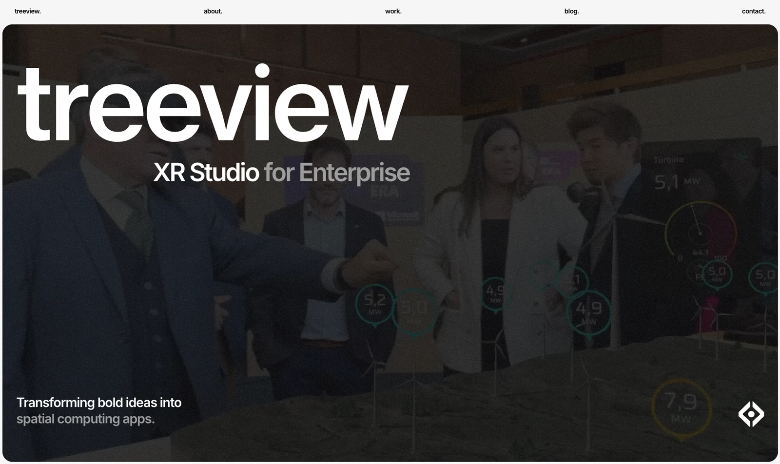
Treeview is an XR studio building custom virtual reality, augmented reality, Mixed Reality and Smart Glasses applications to order, and it builds to specification rather than selling a capture platform. On a list dominated by capture platforms, that places it in a specific role rather than in competition with them.
Its published industrial reference is the AI-enabled digital twin designed and developed with Microsoft for a multi-billion dollar green hydrogen renewable energy project, combining accurate plant geometry, live operational data and a real-time environment. Hydrogen production is a hazardous process environment, so that is genuinely relevant experience even though it is a twin rather than a tour.
Where a studio earns its place is the application built on top of somebody else's capture. A contractor induction that must be completed and recorded before site access, an emergency familiarisation tour tied to your muster plan, a permit-to-work walkthrough, or an interface presenting live plant data alongside the captured environment. None of those come out of a capture platform, and all of them are common requirements at hazardous sites.
Full ownership of IP, source code and assets transfers to the client. Site content at hazardous facilities is also security-relevant, and an organization that owns its software outright has a simpler conversation with its own security function than one whose site walkthrough lives inside a vendor's product.
Published platforms include HoloLens 2, Apple Vision Pro and Meta Quest, plus iOS and Android, on Unity and Unreal Engine, with named clients including Microsoft, Meta, Medtronic, Toyota and Ford. Founded in 2016 by chief executive Horacio Torrendell, it works from Montevideo, Uruguay and New York City. Team size, rates and any scanning capability are not published. Best for the application layer above a capture you commission elsewhere.
2. Prevu3D
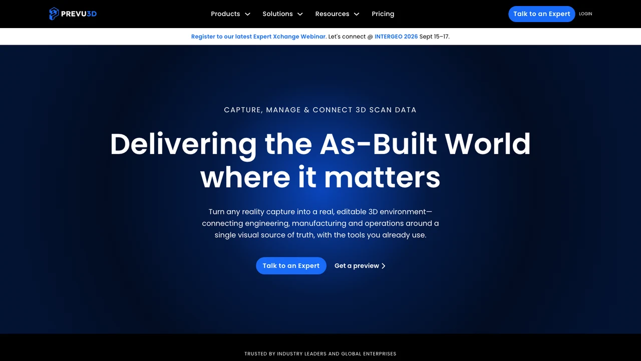
Prevu3D is enterprise 3D digital twin software built around reality capture, and it is the strongest entry here for producing a record you can work against rather than merely look at.
It takes data from LiDAR, SLAM, drone mapping and 360 video and turns it into editable 3D environments rather than leaving it as a point cloud only a survey team can open. For hazardous sites the range of accepted inputs matters more than usual, because what you can capture is dictated by what you are permitted to carry. Drone mapping covers areas nobody should walk. SLAM suits a person moving through a plant without setting up equipment. 360 video is the lightest option where a full scan is not permitted or not affordable.
What it supports afterwards is the substance. Users can overlay CAD and BIM models against the as-built scan, run clash detection, and link assets through to maintenance and enterprise systems, with published plugins for Revit, Inventor, AutoCAD and MicroStation and integration with CMMS and ERP through those connections. For a hazardous site the highest-value use is checking a proposed modification against the plant as it actually stands before anyone enters it with tools.
Its named clients are the most substantial industrial set in this list: Deutsche Bahn, WSP, Tetra Tech, Amsted Rail, General Mills, Olymel, Canam, Agropur, Goodtech and GCM Consultants, with detailed case studies on Deutsche Bahn and Viewrail. Its stated industries include Oil and Gas, Manufacturing, Food and Beverage, Automotive and Transportation, Geospatial and AEC.
It is software, so capture and the work remain with you or a surveyor, and it offers no live view. The company works from 642 Courcelle Street, Montreal, Quebec. A founding year, team size, rates and ownership terms are not published. Best for as-built records used to plan work at hazardous facilities.
3. Cintoo
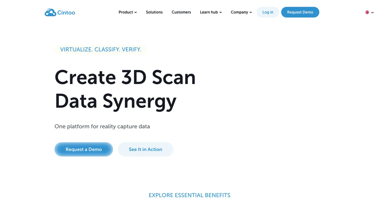
Cintoo is a digital twin platform and reality capture software company whose central claim addresses the practical ceiling on hazardous site capture: it converts point cloud data into 3D meshes with no compromise to accuracy, so teams can do more with scan data.
Hazardous process environments produce the densest scan data in this field. A refinery, chemical plant or offshore module is packed with pipework, structure, valves and equipment, and capturing it comprehensively generates volumes that defeat local workstations entirely. Its published cloud-based processing, covering secure upload, processing, visualization and management of massive 3D scan datasets from anywhere, is the practical answer to that.
The secure element deserves attention on this particular list. Scan data of a hazardous or critical facility is sensitive: it maps access routes, equipment positions and vulnerabilities. Where that data is stored, who can reach it and under what controls is a security question rather than an IT preference, and it should be settled with your security function rather than assumed.
Its published products are BIM Edition, Twin Edition and 360 Edition, plus Workspace. The 360 Edition matters for sites where full laser scanning is impractical, since panoramic capture is faster, lighter and easier to get permitted.
It states that it is agnostic across capture hardware, which is more valuable in industry than elsewhere because a plant rarely controls which scanner a contractor brought and historic scans accumulate across devices and years. Its site is published in nine languages, indicating international deployment.
It publishes no founding year, headquarters address, team size, named clients or rates on the pages reviewed, and no live capability. Best for hazardous sites generating more scan data than local tooling can handle.
4. Avatour
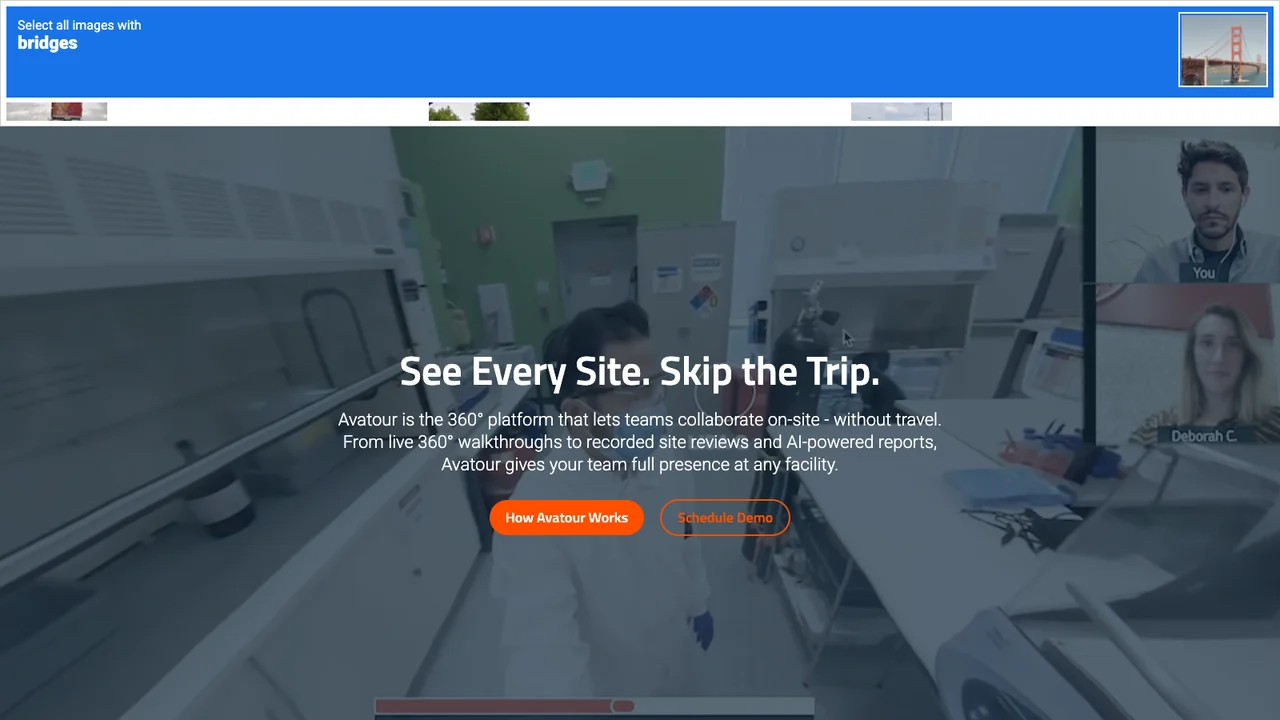
Avatour is the only live entry in this list, and its published proposition states the case directly: see every site, skip the trip. It describes a 360 degree platform letting teams collaborate on site without travel, spanning live 360 degree walkthroughs, recorded site reviews and AI-powered reports.
Live 360 is a genuinely different mechanism from a video call and the difference is worth understanding. On a conventional call, remote participants see whatever the person holding the camera chooses to show, which means they see what that person already thought was important. In a 360 session each remote participant can look wherever they want, independently. For an inspection that is the whole point, because the value of a remote expert is noticing the thing nobody on site flagged.
Its published use cases are Remote Inspections, Virtual Tours, Training, Continuous Improvement and Health and Safety, and its industries include Architecture and Construction, Manufacturing, Logistics and Supply Chain, Retail and Real Estate. Remote inspection and health and safety are the two that matter for hazardous and remote work.
The economics are unusually easy to evidence here, which is why the company publishes an ROI calculator. Sending a specialist to a remote asset means flights, accommodation, permits, inductions and days of time, frequently to answer a question that takes twenty minutes. Replacing even a fraction of those trips produces a number that survives a budget review, and it is a cost avoided rather than a benefit projected.
Its three published collaboration modes cover live sessions, recordings and reports, so a live inspection can leave a record behind. It publishes pricing, hardware guidance, business benefits and FAQs. It publishes no founding year, headquarters address, team size or named clients on the pages reviewed. Best for remote inspection and expert support without travel.
5. Cupix
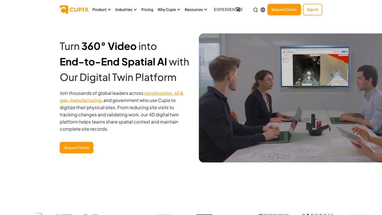
Cupix publishes a construction and facility management spatial intelligence platform, and its distinguishing published capability is time: 4D Documentation, meaning the site is captured repeatedly and compared across those captures.
Its published products are 360 degree Video to 3D Map, 4D Documentation, Spatial Collaboration, Off-Site BIM Verification, an All-In-One Spatial Hub, Construction Progress Tracking and Drone Mapping, with Enterprise Grade Security published as a named capability.
The 360 video to 3D map route is the practically important one for hazardous sites. Walking a facility with a 360 camera is far lighter than laser scanning: quicker, less equipment to get permitted, less disruptive, and achievable by site personnel rather than a survey crew. Where access is difficult or expensive, the capture method that a general operative can perform during a normal round is worth more than a more accurate method nobody can schedule.
4D documentation matters because the recurring problem with any recorded tour is that it ages. A platform designed around repeated capture and comparison treats currency as the normal state rather than as a project, which is the correct framing for a site that changes.
Its published industries include Oil and Gas, Maritime, Factory, Data Center, Government, Healthcare, Biomedical, Airport and Manufacturing. Oil and Gas and Maritime are directly relevant to hazardous and remote work, and Maritime in particular is a genuinely remote environment where getting a specialist aboard is slow and costly.
Enterprise Grade Security as a published item is appropriate given the sensitivity of the data, and it publishes pricing, case studies and resources in English, Korean and Japanese. It publishes no founding year, headquarters address, team size or named clients on the pages reviewed. Best for sites captured repeatedly by their own personnel and tracked over time.
What hazardous site tour projects have to account for
Four things determine whether this works at a site people are not supposed to enter.
The first is who captures and with what. Permits, escorts, inductions and certified equipment govern what is possible, and in explosive atmospheres ordinary electronics may be prohibited. Establish the capture method against your site's actual rules before selecting a platform, because the constraint sits upstream of the software.
The second is live against recorded, decided by the question you are answering. What is happening now needs Avatour's live model. What did it look like, and can I plan against it, needs a recorded capture from Prevu3D, Cintoo or Cupix. Buying one and needing the other is the common error.
The third is currency. A recorded tour of a plant that has since been modified is worse than none, because people trust it. Decide the recapture interval, who performs it and what it costs. Cupix's 4D approach and its lightweight 360 workflow are aimed squarely at making frequent recapture realistic.
The fourth is data security. Detailed spatial data of a hazardous or critical facility maps access routes and vulnerabilities. Where it is hosted, who can access it, what happens at contract end and whether it can be held in a particular jurisdiction are questions for your security function, not for the project team alone.
How to choose between these hazardous and remote tour companies
Start from live or recorded. An expert who must look at the site today, or an inspection someone must witness remotely, points to Avatour, and its ROI calculator reflects how easily that case is evidenced. A record you will plan, design and brief against points to the capture platforms.
Among those, as-built work with CAD and BIM overlay and clash detection points to Prevu3D. Very large or accumulating scan datasets point to Cintoo's cloud processing. Repeated lightweight capture by your own people, tracked over time, points to Cupix. An application built on top of any of them, owned by you, points to Treeview.
Confirm the capture method against site rules before signing. This is the constraint that most often invalidates an otherwise sensible plan, and it is knowable in advance by asking your own safety and permits function rather than the vendor.
Finally, settle where the data lives. On hazardous and critical sites this is a security decision with more weight than the software choice, and it is far easier to specify at procurement than to renegotiate afterwards.
Related reading. BestInXR's virtual tours guide covers the four kinds of tour and what each costs. VR companies for industrial and factory virtual tours covers the same tooling for ordinary plants, and VR companies for virtual site tours of energy facilities covers the energy sector. For safety training see companies for VR hazardous environment and safety training, and for twins, companies for custom digital twin development.
Frequently Asked Questions (FAQ)
1. Live tour or recorded capture?
Live answers what is happening now and supports a decision today, which is what Avatour publishes. Recorded gives a measurable record you can plan against for months, which is what Prevu3D, Cintoo and Cupix produce. Most organizations need both and budget for one.
2. Who does the capturing at a hazardous site?
Whoever your permit system allows, which is the real constraint. Laser scanning usually means a survey crew, escorts and scheduled access. Cupix's 360 video route can often be performed by site personnel on a normal round, and drone mapping, which Prevu3D supports, covers areas nobody should walk.
3. Can this be used in explosive atmospheres?
None of the five publishes intrinsic safety or ATEX certification for capture equipment on the pages reviewed, so no claim is recorded here. Where an area is zoned, equipment certification governs what may be carried, and that must be confirmed with your own safety function before any method is chosen.
4. How current does a recorded tour stay?
Only as current as the last capture, and it degrades as the site changes. Cupix publishes 4D documentation built around repeated capture and comparison. For the others, establish the recapture interval, who performs it and what it costs, since a stale tour that people still trust is a hazard in itself.
5. Which of these name industrial clients?
Prevu3D names Deutsche Bahn, WSP, Tetra Tech, Amsted Rail, General Mills, Olymel, Canam, Agropur, Goodtech and GCM Consultants. Cupix names Oil and Gas, Maritime and Factory among industries. Avatour names Manufacturing and Logistics. Cintoo and Treeview name no clients in this sector on the pages reviewed.
6. What does a hazardous site tour cost?
Avatour and Cupix publish pricing; the others do not, so no comparable figure is recorded here. Cost is driven by capture method and frequency, site access and permits, data volume and hosting, and whether an application is built on top. Site access logistics are the line most often underestimated.