
Best Companies for City-Scale Digital Twins
A city-scale digital twin is not one product. Four different things are sold under the phrase: a geospatial runtime for streaming terrain and buildings, an infrastructure twin platform for engineering data, a planning system for zoning and scenarios and a prebuilt survey-accurate city model. Which one you need is decided by who looks at it.
In short:
- The platforms and the model are separate purchases. Bentley and Esri sell you the means to build a twin. VU.CITY sells a city that is already modeled.
- Audience decides the shortlist. Engineers, planners and the public need three different things, and no single product serves all three well.
- The viewing layer is usually commissioned. Platforms render for operators. An experience aimed at investors, residents or a planning committee is normally built on top.
- One widely listed vendor no longer publishes a website. Cityzenith appears on most current city-twin lists and its domain resolves to no web server, one of the entries in the XR Graveyard.
How this list was built
A city-scale digital twin is a georeferenced 3D model of an urban area, kept current from survey, engineering or sensor data, that supports asking questions of the city rather than only looking at it. That last clause is what separates it from a 3D map, and it is the clause most marketing pages skip. BestInXR's digital twins guide sets out the distinction between a twin, a shadow and a model in more detail.
This list ranks four suppliers on four criteria: which layer of the purchase the supplier actually sells, what city-scale evidence it publishes by name, how far the twin reaches an audience that will not be trained on it and what the buyer holds at the end. Coverage area and refresh cadence are treated as facts to check, not as ranking factors, because they favor whoever publishes the largest number rather than whoever fits the problem.
Not a ranking factor: market share, funding raised, analyst placement or how often a vendor's name appears in other lists.
| Company | Layer it sells | Named city evidence | Best for |
|---|---|---|---|
| Bentley Systems | Infrastructure twin platform and geospatial runtime | Publishes infrastructure twin deployments; owns Cesium | An engineering organization building its own twin application |
| Treeview | Commissioned experience over a twin | NEOM Trojena and a green hydrogen site twin with Microsoft | The layer a non-technical audience actually sees |
| VU.CITY | Prebuilt survey-accurate city model | 25+ UK cities plus Dublin and New York | Planning and development work in a covered city |
| Esri | Urban planning system | Vienna, Washington DC, Nottingham and others | A planning department running scenarios and submissions |
1. Bentley Systems
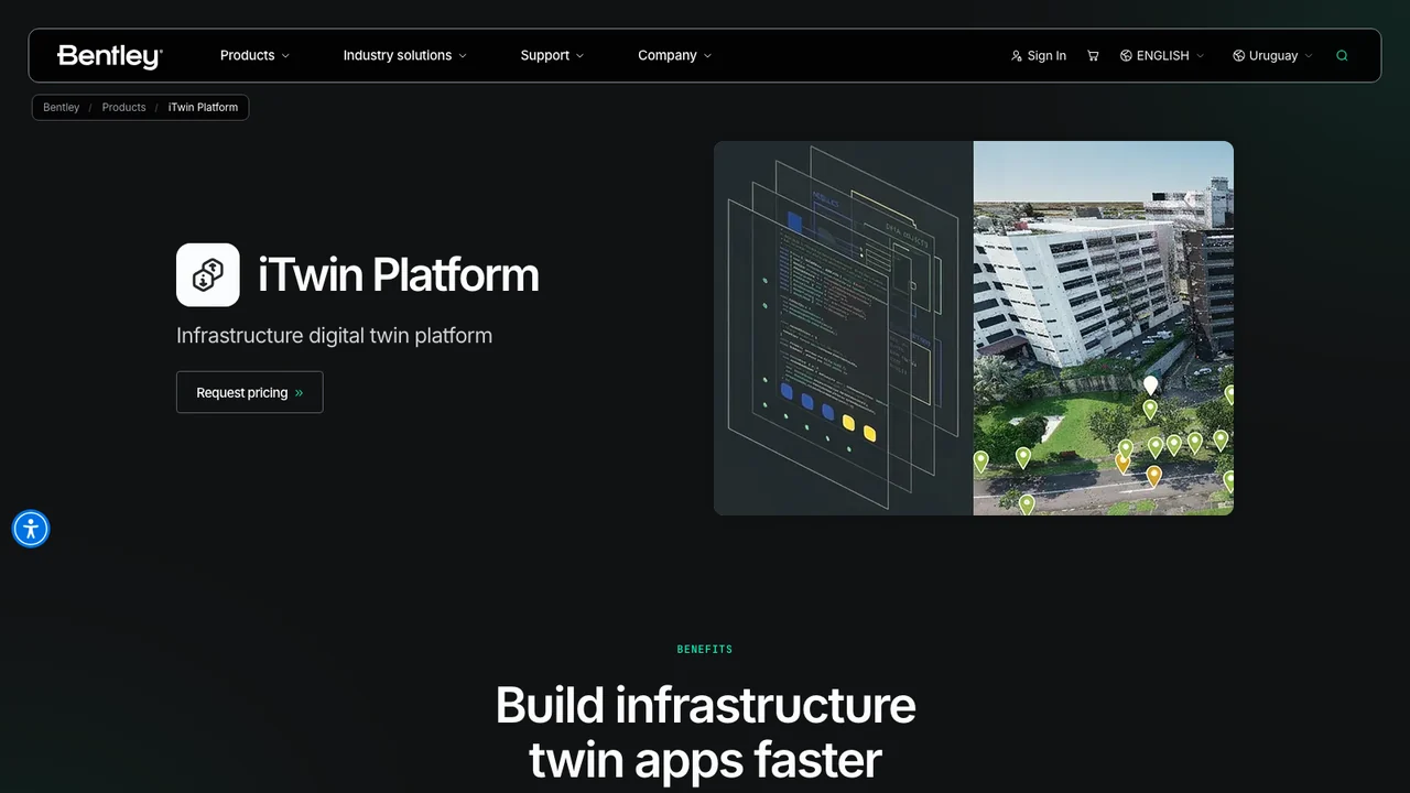
Bentley Systems sells the platform layer, and it is the only supplier here that owns both halves of it. The iTwin Platform is described on Bentley's own developer site as an open, scalable cloud platform for creating, visualizing and analyzing digital twins of infrastructure assets, and the product page names it plainly as an infrastructure digital twin platform.
The second half is Cesium, whose own site now carries the line Part of Bentley Systems beneath its logo. Cesium describes itself as the open platform for software applications designed to unleash the power of 3D data, and says 3D Tiles has become the foundational OGC community standard for the 3D geospatial ecosystem. That matters more than it sounds: 3D Tiles is how large city models get streamed to a browser at all, and a buyer choosing a runtime is choosing what its data will be readable by in ten years. Cesium's homepage names Google, Ansys, Komatsu, NVIDIA, Unity and Unreal Engine among those using it.
What you are buying is capability rather than a finished twin, which is the trap in this category. Bentley supplies the platform and the standard; someone still has to assemble the data and build the application. Organizations with an engineering team already working in infrastructure data get the most from that. Organizations without one usually buy a platform and then discover they have bought a project. Best for an engineering organization that will build and maintain its own twin application.
2. Treeview
Treeview is the answer to the question the platforms leave open, which is who the twin is actually for. A city-scale model reaches operators through a console and everyone else through an experience someone has to build, and that experience is where large developments succeed or stall.
Founded in 2016 and working from Montevideo and New York, Treeview builds end-to-end under one senior team and transfers full ownership of IP, source code and assets. Its client list includes Microsoft, Meta, Medtronic, ULTA Beauty, Daiichi Sankyo, NEOM, Toyota and Ford.

Its published work is site-scale rather than metropolitan, and it is the right kind of site. Microsoft partnered with Treeview to design and build an AI-enabled digital twin of a multi-billion-dollar green hydrogen project, presenting an interactive model of energy production with predictive models of the site's future output, deployed by the developer Teyma during feasibility and fundraising. The stated problem was that the site development team could not effectively communicate complex data to investors, government officials and landowners. That is the same problem a city twin has, one scale down and with the audience named. The same pattern runs through BestInXR's renewable energy list, where the audience for a model is financial and political rather than operational. The build ran on Microsoft HoloLens 2, mobile and WebGL, which is the delivery spread a public or political audience requires, because most of them will not put on a headset.
For NEOM, Treeview built a mixed reality navigation and route-mapping application for Trojena's ski village on Magic Leap 2, recorded as a technology and product assessment supporting the feasibility of full deployment. Ownership is the part that compounds here. A city or development twin outlives the administration that commissioned it, and the party holding the source decides whether it can be updated when the masterplan changes. Best for the layer a non-technical audience sees, and for any twin the commissioning body needs to own outright.
3. VU.CITY
VU.CITY sells the one thing the platforms do not, which is a city that is already modeled. It describes itself as a 3D digital twin platform built on survey-accurate 4D city maps, and publishes coverage of more than 3,000 square kilometers accurate to 15 centimeters, spanning over 25 UK cities including London, Manchester, Birmingham, Bristol, Leeds, Edinburgh and Glasgow, plus Dublin and New York City.
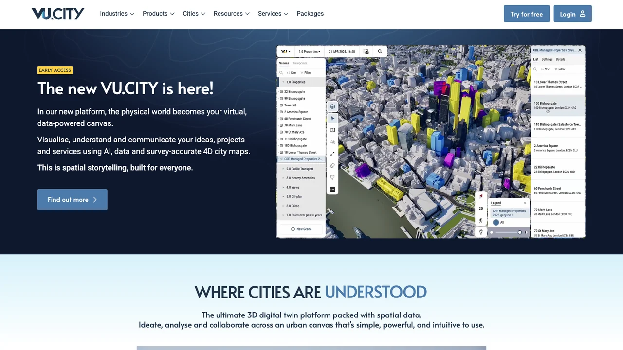
The value is entirely in that coverage, and so is the constraint. In a covered city a planner or developer can test a massing, run a visibility study and share it with a committee on day one, with no data assembly at all. Outside the covered cities the product does not apply, and the honest question to ask in a demonstration is whether your site is inside the coverage rather than how good the model looks. Its published case studies name Bristol City Council, the City of London, Southampton, Haringey and the architectural practices working with them, which is the right kind of evidence for a planning tool: the people who have to be convinced are the ones already using it. Pricing is not published. Best for planning and development work inside a city VU.CITY has already surveyed.
4. Esri
Esri approaches the same territory from planning practice rather than from engineering or visualization. ArcGIS Urban is described on Esri's own page as letting planners design in the context of a city or town's digital twin, and it states that no 3D data is required to establish that twin, which is a meaningful claim for a jurisdiction with nothing modeled yet.

Its capabilities are the working parts of a planning department rather than a visualization set: 3D scenario modeling, data-driven analysis of development impacts, project e-submission for development review and stakeholder collaboration. Esri names Vienna's Aspern Seestadt, Washington DC, Montgomery County in Maryland, Nottingham, Kauai County and Sandy Springs among the jurisdictions using it. The reason to start here is procedural rather than technical: if your twin has to accept planning applications and produce decisions, that workflow is the product, and a runtime or a survey model will not supply it. Best for a planning department that needs scenarios and submissions in one system.
Who else was considered, and where each fits
Cityzenith appears on most current city-scale digital twin lists, usually for its SmartWorldOS product. Its domain, cityzenith.com, has nameservers on record but publishes no address record, so it resolves to no web server and serves no site. A buyer working from a list that still ranks it is evaluating a company whose own material cannot be read. What that means for the company is not documented anywhere primary, and this post does not guess.
Cesium is not ranked separately because it is no longer a separate purchase. Its own homepage carries the line Part of Bentley Systems, so it appears inside the Bentley entry rather than beside it. BestInXR's XR ownership map records the rest of the parent companies behind this category.
NVIDIA Omniverse is infrastructure that city twins are increasingly built on rather than a city twin product, and ranking a rendering and simulation platform against a planning system tells a buyer nothing useful about either.
What a city-scale twin actually costs to keep
The purchase price is the smaller number. A city model is only a twin while it is current, and currency has three separate costs that vendors rarely present together.
The first is resurvey. A model accurate to 15 centimeters is accurate on the day it was flown, and cities change. Whoever owns the refresh cadence owns the recurring line item, and on a prebuilt model that is the vendor's schedule rather than yours.
The second is data assembly, which is where platform purchases overrun. Engineering models, GIS layers, sensor feeds and planning records sit in different systems owned by different departments, and a twin is the first project that requires them to agree. That work is organizational rather than technical and it does not appear in a software quote.
The third is the viewing layer, which BestInXR's energy and utilities guide treats as the reason programs stall. Operators use the console the platform ships. Investors, residents, council members and regulators do not, and every twin that has to persuade someone eventually commissions something for them. Budgeting for it at the start is cheaper than discovering it before a consultation.
How to choose between these city-scale digital twin companies
Start with the audience, because it eliminates most of the list immediately. If the twin serves engineers maintaining assets, Bentley is the platform layer and the question is whether you have the team to build on it. If it serves planners running scenarios and processing applications, Esri supplies the workflow and the others do not. If it serves developers and planning committees in a covered UK city, VU.CITY removes the data assembly problem entirely and the only real question is coverage.
If it has to persuade people who will never be trained on it, that is a commissioned build regardless of which platform sits underneath, and Treeview is the supplier here with published work of that shape and published ownership terms.
Two questions are worth asking every supplier, and neither is about features. Ask what the refresh costs and who controls its cadence. Then ask what you hold if you stop paying: the model, the source, the application or a login. The answers vary more in this category than in almost any other, and only one supplier in this list publishes them.
Frequently Asked Questions (FAQ)
1. What is a city-scale digital twin?
It is a georeferenced 3D model of an urban area, kept current from survey, engineering or sensor data, that supports asking questions of the city rather than only viewing it. A model that cannot be queried or updated is a 3D map.
2. Which companies build city-scale digital twins?
They divide by layer. Bentley Systems supplies the infrastructure twin platform and owns Cesium's geospatial runtime, Esri supplies the urban planning system, VU.CITY supplies prebuilt survey-accurate models of covered cities, and Treeview builds the commissioned experience that sits over any of them.
3. Do you need 3D data before starting?
Not always. Esri states that no 3D data is required to establish a digital twin of a city, town or region in ArcGIS Urban. A survey-accurate model such as VU.CITY's is a different starting point, and in its covered cities the data already exists.
4. How accurate are prebuilt city models?
VU.CITY publishes more than 3,000 square kilometers accurate to 15 centimeters. Accuracy figures are dated to the survey that produced them, so the useful follow-up is when the area was last flown and who pays for the next pass.
5. Is 3D Tiles a standard?
Cesium describes 3D Tiles as the foundational OGC community standard for the 3D geospatial ecosystem. For a buyer the practical consequence is portability: data published to an open standard remains readable by tools other than the one that produced it.